This page automatically refreshes every 15 minutes
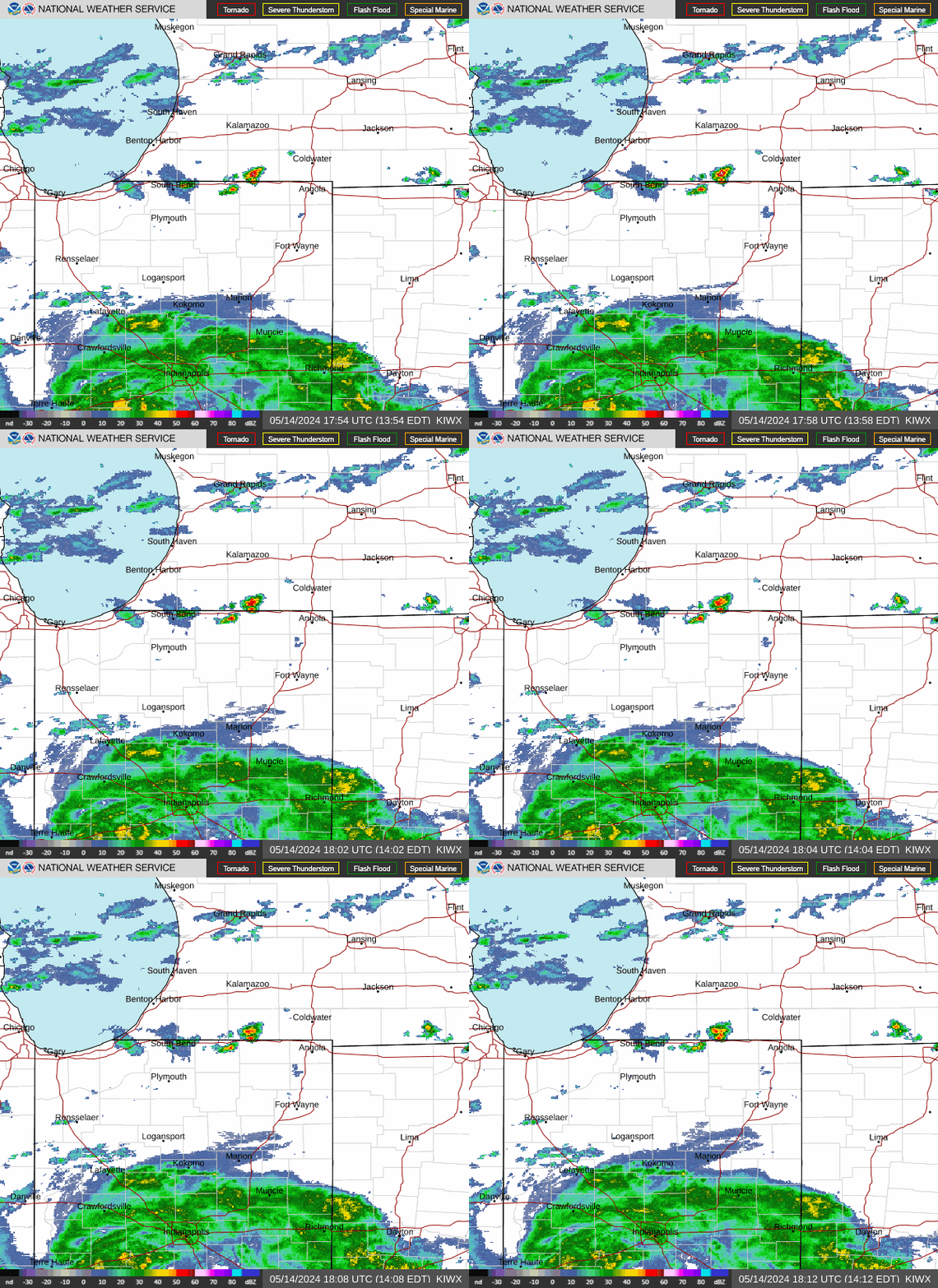
Latest Radar for KIWX

For regional radar animation, visit College of DuPage NEXRAD Viewer (Indiana subsector)
For six day archive of radar data, visit rap.ucar.edu
Latest Satellite Image for Central Great Lakes sector

For all sectors, see GOES-16 Geocolor Imagery
For regional satellite animation, visit College of DuPage GOES-16 Viewer (Indiana subsector)
For four day archive of satellite imagery, visit rap.ucar.edu
My NWS Forecast
Forecast issued 3:15 pm EDT Apr 29, 2026
|
Tonight  Low: 39°F
Chance |
Thursday  High: 55°F
Mostly Sunny |
Thursday  Low: 39°F
Partly Cloudy |
Friday  High: 53°F
Chance |
Friday  Low: 31°F
Partly Cloudy |
Saturday  High: 52°F
Frost then |
Saturday  Low: 34°F
Mostly Clear |
Sunday  High: 61°F
Mostly Sunny |
Sunday  Low: 46°F
Chance |
For detailed discussion and confidence, see latest Forecast Discussion
For hourly details, see latest Hourly Forecast Graphics
For numerical models, see College of DuPage Meteorology Numerical Model Data
Clear Sky Chart
| Cloud Cover | Overcast | 90% covered | 80% covered | 70% covered | 60% covered | 50% covered | 40% covered | 30% covered | 20% covered | 10% covered | Clear |
| Transparency | Too cloudy to forecast | Poor | Below Average | Average | Above average | Transparent |
| Seeing | Too cloudy to forecast | Bad 1/5 | Poor 2/5 | Average 3/5 | Good 4/5 | Excellent 5/5 |
| Darkness | -4 | -3 | -2 | -1 | 0 | 1.0 | 2.0 | 3.0 | 3.5 | 4.0 | 4.5 | 5.0 | 5.2 | 5.4 | 5.6 | 5.8 | 6.0 |
| Day | Dusk | Twilight | Full Moon | No Moon | |||||||||||||
| Temperature | |||||||||||||||||||
| °F | -40 | -31 | -22 | -13 | -4 | 5 | 14 | 23 | 32 | 41 | 50 | 59 | 68 | 77 | 86 | 95 | 104 | 113 |

|  IN-AL-99 |


